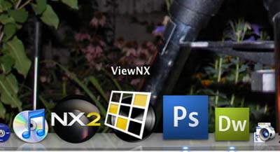
The ViewNX software is a free download from Nikon. The software is available for Mac and PC. It is pretty useful as an image viewer, but if you are playing with geotagged images, you will want to start with this app.
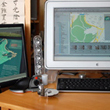
As we had previously mentioned, we wanted get a feel for the accuracy of the geotagging information. To check, we took an image of the "You Are Here" map at the Arboretum and looked to see if Google Maps would tell us where the image was taken.
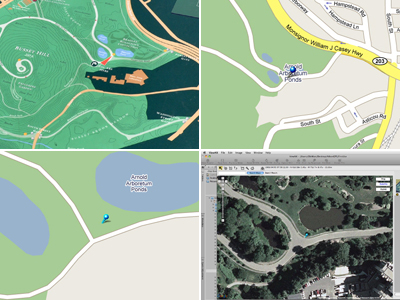
When just using the Google Map graphics mode, the location detail was pretty good, but not as impressive as when mapped using the satellite overlay. If it had been a real-time feed, you would have seen us waving at the satellite overhead!
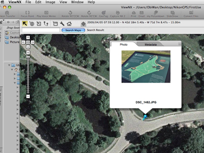
A cool feature of the ViewNX/GoogleMap dialog is by clicking on the "pin", a small view of the image mapped to that location will pop up. The tabs at the top of the pop-up window allows the user to toggle between the photo and the GPS data.
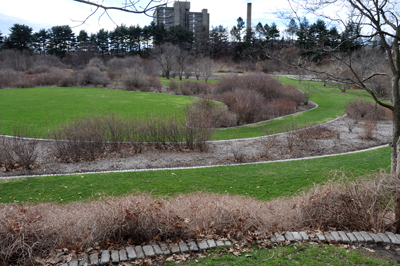
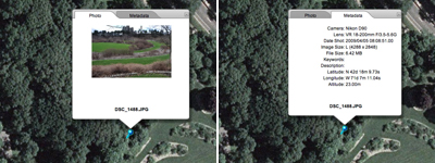
So when in ten years we want to know where we took the photo of the first robin of Spring 2009, since the image was tagged with GPS data, we will just pair it with GoogleEarth and get the exact satellite location :-)

GPS tagged images is obviously an incredible feature for travel and outdoor photographers. We think it will be even more valuable for the applications which have NOT been created yet. If your camera supports the capability to add GPS data to your images, we would advise you to start tagging them now! You will thank us in a few years. We guarantee it. [Permalink]- mapping geotagged images
|

